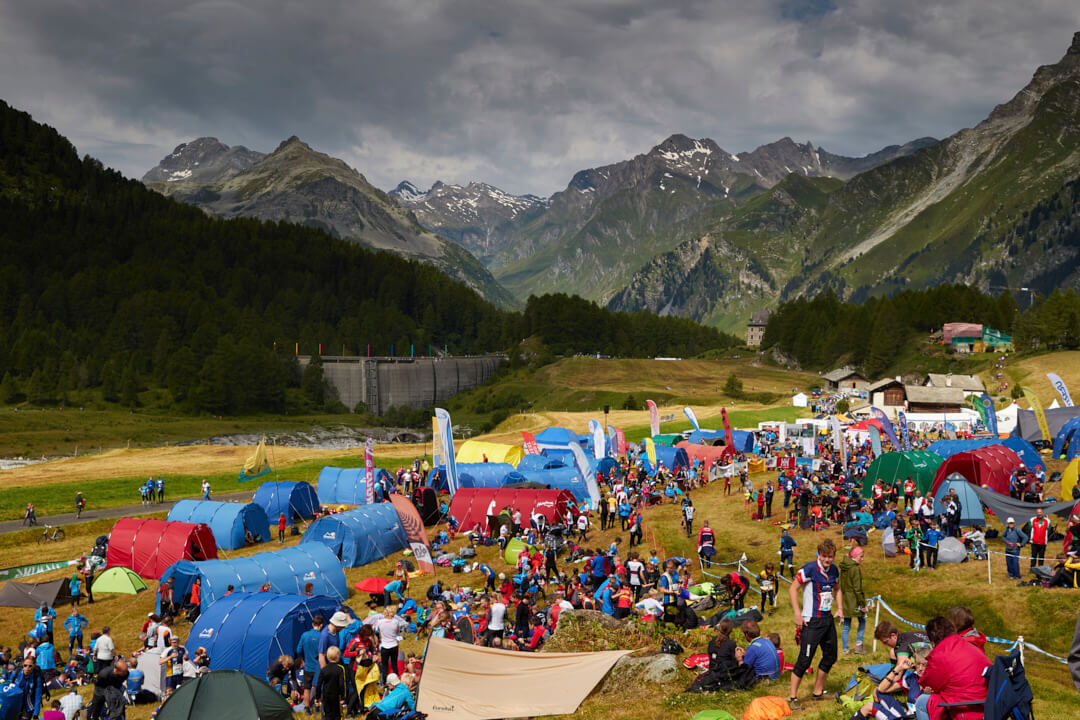
Club Development
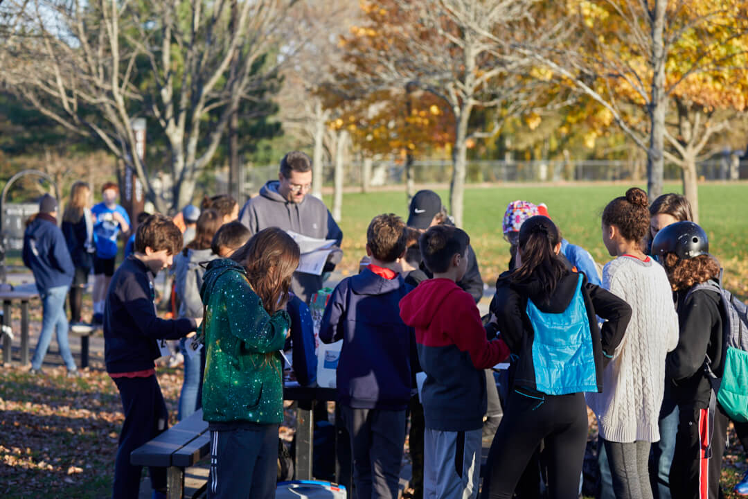
Starting a Club
Starting an orienteering club will allow you to host and participate in events in your backyard! Anyone can start a club, but remember, it can be hard work. You should consider two aspects: people and maps.
Benefits of starting a club
- Orienteer where you are!
- Get support from our club support committee or a the nearest club.
- Access to Orienteering USA’s liability insurance
- Potentially a grant to help get started
Considerations
People: You want to look for other people who are interested. This will make it easier than starting a club by yourself. Groups to consider are: runners, skiers, scouts, outdoor groups, etc.
Maps: When figuring out where to make your first map you should look for a popular, easily accessible area. Local parks are great to use but make sure you get permission to map and use it. You should make sure the area isn’t too large as large maps take much longer to produce. Consider producing a detailed street map for other additional events getting started. Check out the mapping page for a more information.
Charter Application: Complete your charter to receive insurance benefits. A regular charter is for clubs with 8 or more members whereas an associate charter is for fewer than 8 members.
Charter Instructions & Forms can be found in the OUSA Library
Check out our 10 step guide to get started for more information.
Supporting Memberships: Orienteering USA recognizes that for-profit event promoters can offer high quality orienteering events outside of the normal membership-based club format. Check the policy & application for more information.
First Event
Look at our resources for hosting an event
Other Resources
Don’t forget to check out our other organize pages that have a lot of great resources.

Mapping
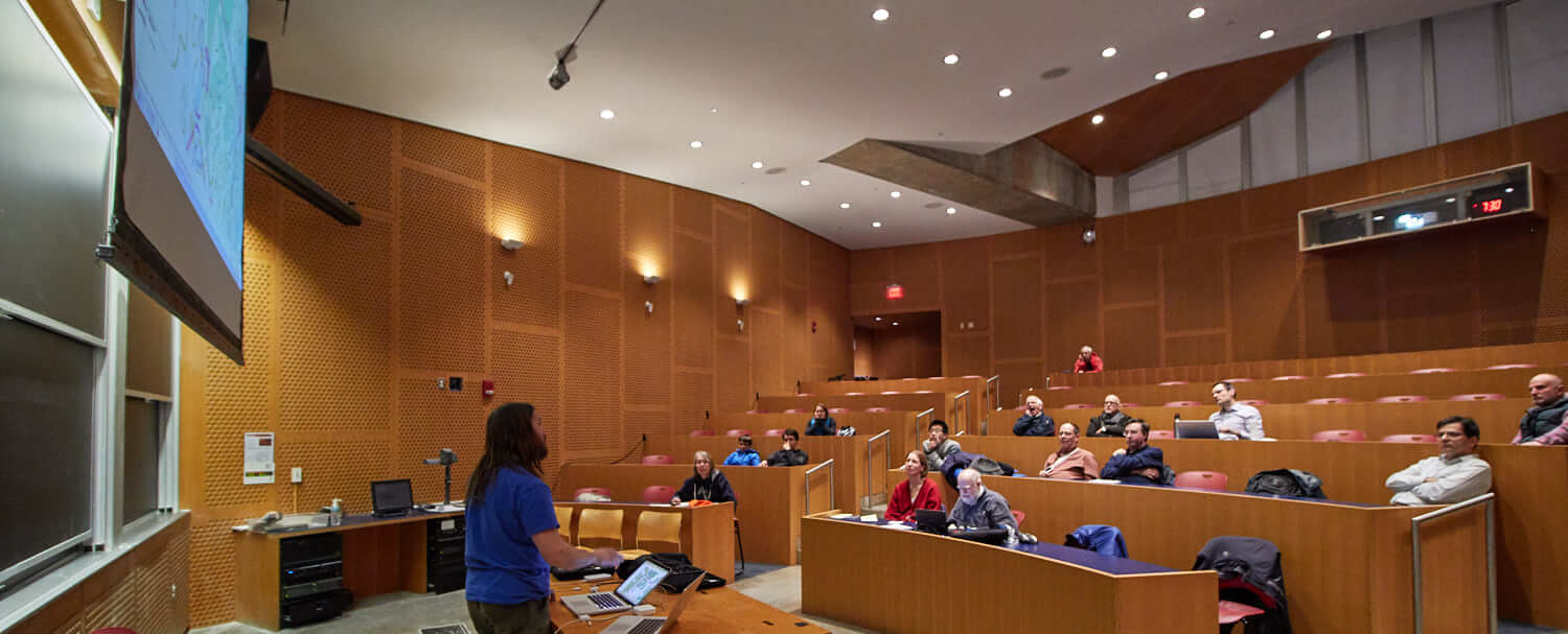
Somewhat like standard topographic or hiking trail maps, but bigger (at finer scale), better (far more mapped features), more accurate and more up-to-date, orienteering maps are among the most detailed topographic maps available, and they take significant skill and time to make.
Maps are generally owned (and copyrighted) by the Orienteering USA club nearest that terrain, and these clubs often make their maps available for a small fee to outdoor enthusiasts, educators and land managers, in addition to their primary use as the basis for the local and national orienteering competitions they host.
Youth Mapping Program
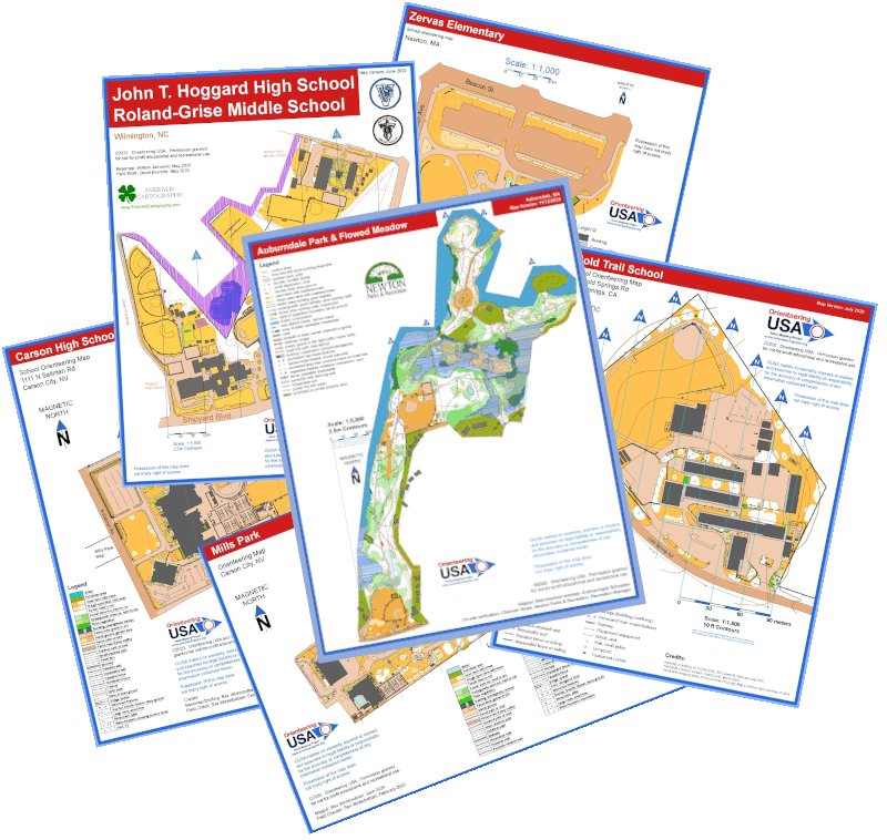
OrienteeringUSA has a special program designed to facilitate the production of small park & schoolyard maps for teaching orienteering skills to youth groups and students. More information can be found on the Youth Mapping Program page.
IOF Mapping Specifications
The International Orienteering Federation governs the specifications for mapping. There are currently 4 separate specifications:
– Foot Orienteering Maps
– Sprint Orienteering Maps
– MTB Orienteering Maps
– Ski Orienteering Maps
The most up to date specifications can be found here.
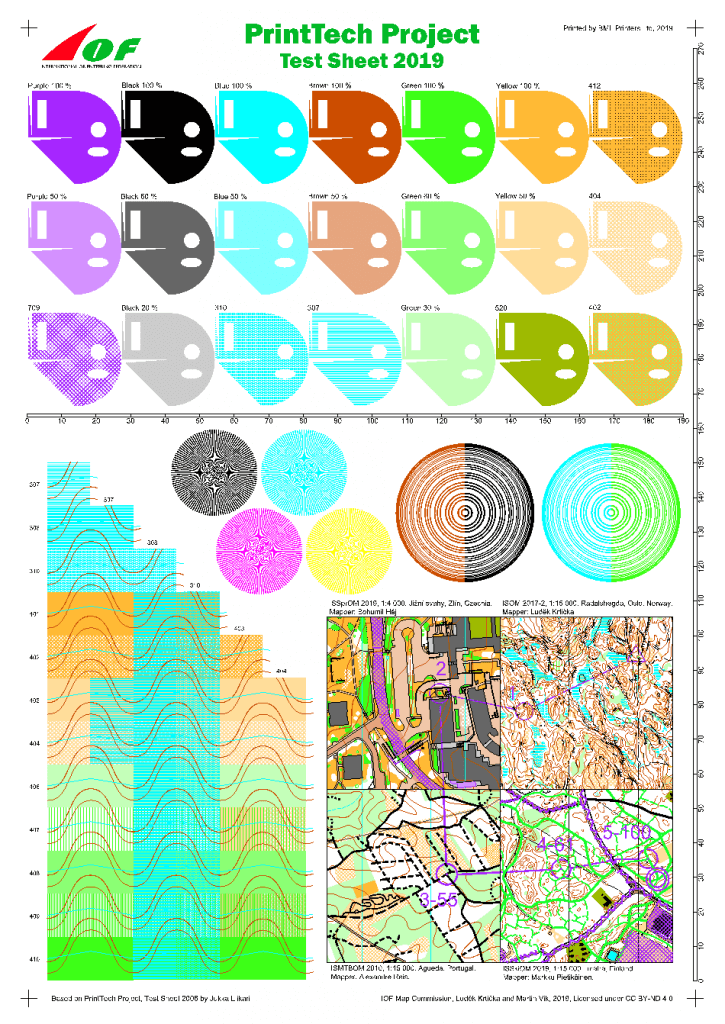
Anyone involved in producing maps for high-level orienteering events such as OUSA NREs should have a copy of the IOF PrintTech reference sheet. This reference sheet is then compared to a printout from the IOF website to calibrate the quality of printing and color accuracy used for orienteering map production. Club mappers should request a copy of the PrintTech master sheet by sending a request, including mailing address, to: clare.durand@nullorienteeringusa.org. More information and download files to print on your map printer can be found on the IOF mapping resources page by scrolling down to the section labeled “map printing.”
Land Access
Land is as fundamental to orienteering as maps are. After land has been located that is suitable for orienteering, two important land-related tasks remain:
- Obtaining permission to use the land
- Taking care of the land
Several resources help with land access. These include:
- Orienteering USA’s Land Use Policy
- Park Supervisor’s Guide
- Environmental Orienteering Handbook
- Hosting Events Off-Trail
- OUSA’s Insurance Coverage
Map Making
Software
OCAD
Open Orienteering Mapper
OriBooklet (Mobile – Android)
Websites
US Interagency Elevation Inventory – Lidar Data
NOAA’s Magnetic Declination Estimator
Instruction
Jeff Teutsch of Navigation Sports offers online courses in orienteering mapping and a newsletter with mapping topics.
Guides/Resources
Georeference or Improve Georeferencing an old Orienteering map using OCAD
Andrea Schneider’s Lidar mapping Guide
OCAD and Lidar (Peter Goodwin)
Getting Started with OOM (Kelsey Breseman)
A brief guide to orienteering mapping
Creating Orienteering Basemaps using Lidar (Bill Cusworth)
Orienteering mapping using a GPS watch (Gord Hunter)
Orienteering Mappers Int. (Facebook Group)
Sprint mapping techniques (Not updated for ISSprOM)
OCAD’s Blog – tips, techniques, and news
Point of contact
Orienteering USA Mapping Coordinator, Jon Campbell.
Potential Mappers
Orienteering USA provides information on mapping service providers as a service to members and others. Inclusion of a service provider does not imply endorsement.
It’s recommended that you request samples of their work and request a valid time schedule before contracting with them. Note that visas must be taken into account for mappers based outside the U.S.
Course Design
Good course design is more than finding some features to hang controls on. It involves looking at the legs themselves, changing up the experience, and testing different skills along the way to challenge participants as they enjoy your course. This takes significant prep time.
At the highest levels, you’ll also need an understanding of expected finish time for different skill levels of participant.
Whether you’re setting your first local course or moving up to setting national events, a methodology is useful. Basically, it goes like this:
A methodology to course design is below. Provide as much time as you wish based on the level of competition. Local courses will receive much less time and consideration than national or international courses.
- Become familiar with the terrain – conduct both a map and on the ground survey to identify your start and finish locations, good areas for controls, corridors for routes, and any possible map issues to fix prior to the event or avoid.
- Set and test initial courses – Many course designers start designing with the white course then move onto the more difficult courses. Don’t agonize over this step. Once you set initial courses, go out along with other interested people not competing to test the courses so you can identify tweaks and adjustments.
- Refine and finalize the courses – Update the courses based on feedback from test runners. If you are hosting a national event, consult with your Orienteering USA course consultant on your courses. If you are hosting a local event, receive feedback from a more experienced course designer if possible. Continue testing and refinement until you are satisfied.
Design Guidelines & Resources
Local Event Course Design Guidelines
OUSA Course Design Guidelines
IOF Rules Appendix 2
IOF Course Design Guidelines
Many course and event planning resources and a comprehensive Course Planning Guide from the British Orienteering Federation
Technologies
There are many technologies, if appropriately used, can provide huge advantages to your organization.
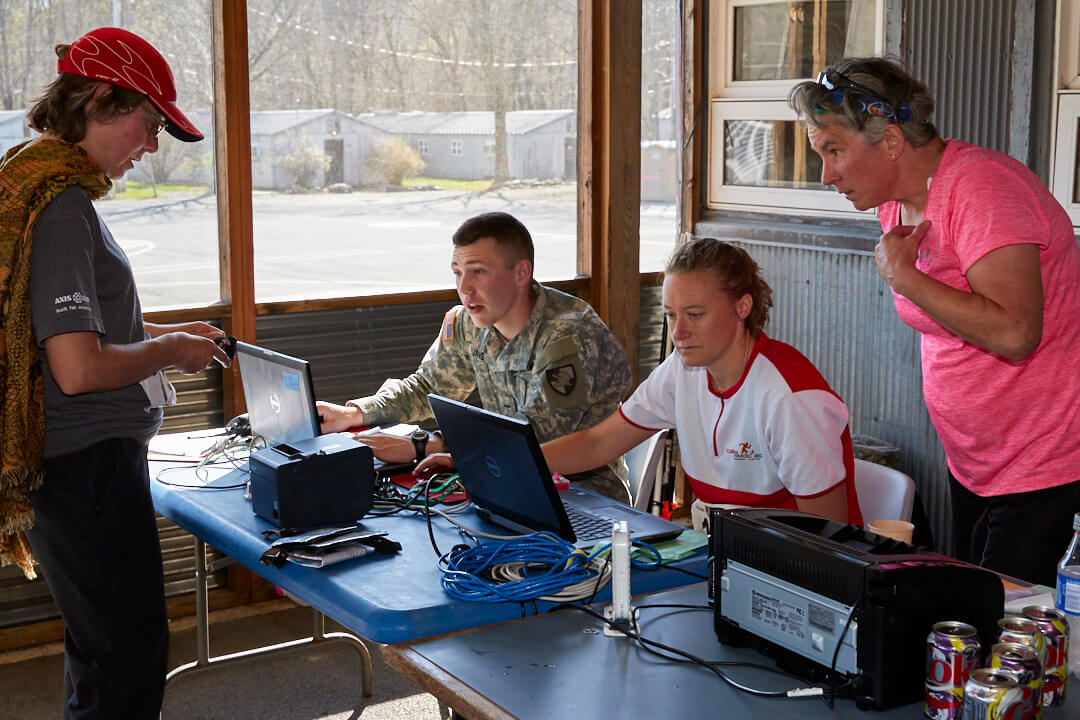
OrienteeringUSA can provide certain capabilities free of cost for 501(c)3 member clubs. We can provide a subdomain, an @orienteeringusa google group, and a Team drive. Learn More
Course Design – Purple pen is a great orienteering course design software. It is very easy to use and accepts PDF, OCAD, and OOM map files. This is a great piece of software to help clubs find more course designers.
Online registration – Orienteering USA’s Event Register is a great solution for pre-registration. It is a secure server and is currently free for local events and $75 for a national event. It seamlessly integrates with your club’s own paypal account and many electronic punch software. Create your registrar account by clicking on event officials login in the top right. Contact Orienteering USA’s EventReg Administrator Videlin Aleksiev with any questions.
Web-based route analysis software – Orienteering USA has purchased a national Livelox license. To find out more:
- “OUSA Livelox for Participants” shows the features Livelox offers that can be used by participants when viewing your club’s events in Livelox. There’s so many features that many are behind a few different menus.
- “OUSA Livelox for Club Officials” is for the club’s Livelox administrators and shows ways to add events (both standard courses and score-o’s), upload results, setting up live tracking, etc.
- The Introduction to Livelox Flyer that can be updated with your club’s logo to have at your events. (Thanks to Clinton Morse for creating this!)
Need more ideas? IOF has an extensive list of software for orienteering.
Communities
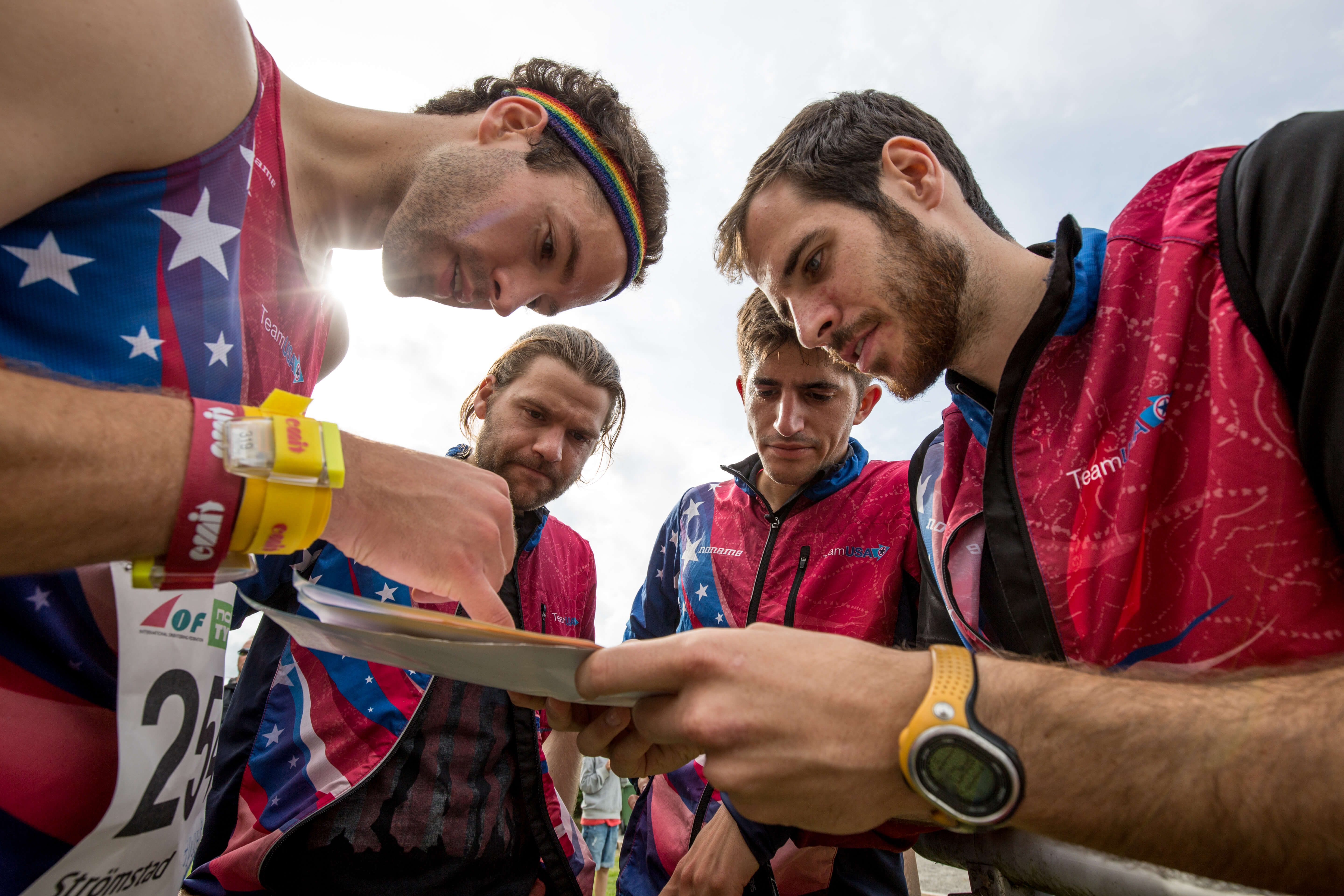
If you have a specific questions and you can’t find the answer or want to get deeper into orienteering, here are some communities that may be useful resources:
- Attackpoint – The premier English speaking orienteering community. This is a location to view orienteers’ training logs, upcoming events, results from past events, and discussions regarding all things orienteering.
- World of O – News, headlines, maps, and blog links from orienteers around the world.
- International Orienteering Federation – Orienteering USA is a member of the international federation for orienteering. You can sign up for their newsletter.
- Orienteering Mappers International – A Facebook group with orienteering mappers all over the world.
- ClubNet – An email based discussion list for club leaders and other interested volunteers. Many announcements are made through this list and it is regularly used by the board and committees to get out information to club leaders more quickly than the newsletter. Every club should have at least one member monitoring this list. Subscribe to ClubNet
- BoardNet – An email based discussion list for the OUSA board to discuss proposals. While posting to this list is restricted to board members, any OUSA member is welcome to join to follow the discussion. Subscribe to BoardNet
- Trail-O Group – A discussion group for trail orienteering in the US.
- OMap Group – A discussion group for orienteering mapping.
Land Management
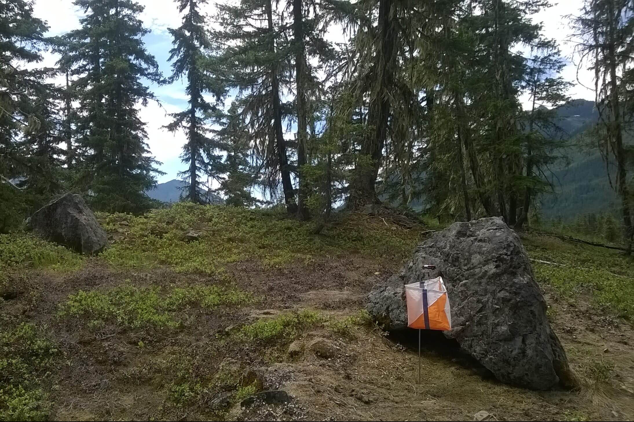
For orienteering to continue, long-term access to land is essential. To ensure access, we are responsible stewards of the land using defined environmental practices.
Specific resources to review include:
Park Supervisor’s Guide for park contacts
Environmental Orienteering Handbook for clubs
and Hosting Events Off-Trail for event directors.
