
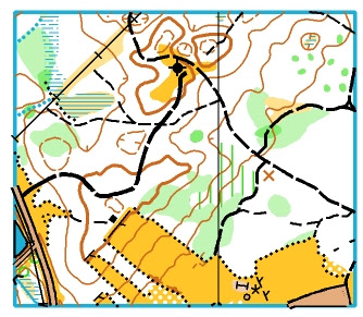
You can orienteer at the Older Dash in Gunstock, NH and learn more about mapping, too. Friday October 18th, the day before the event, a mapping workshop will be held at a nearby site for those interested in learning how to map. The workshop will use LIDAR data to assist in the mapping process.
The workshop will start at 9:00 AM and end around 4:00 PM (you can probably leave early if you want to run the model event). LIDAR use and how to get it will be part of the discussion.
This workshop is for people new to mapping and people who want to learn a bit more about the process. Experienced mappers may also benefit because of discussions about what and how to map. You can talk with others about the process that is often done in the woods, alone, so feedback and discussion about how to map is always helpful.
At the workshop, attendees will work with a basemap, aerial photos and other data to learn the basics of making field notes with the goal of creating orienteering maps. Discussions will be focused on what and how to map particular areas. This will be hands-on and materials will be provided for making field notes. The materials provided will be traditional map boards and colored pencils. There will be no charge for the workshop although you must pre-register so there are enough materials for all the participants.
Email Peter Goodwin to register or to get more information.