
Setting an orienteering course on a reclaimed coal mine presents some unusual challenges. At the
Summit Bechtel Reserve in West Virginia, many of the terrain features that normally give an
orienteering map its character simply aren’t there.
That was one of the challenges faced by Orienteering USA at the 2026 National Scout Jamboree,
held July 22–31 at the Summit. More than 400 starts were recorded on three courses: White for
beginners, Yellow for intermediate orienteers, and Green for more experienced orienteers.
The Summit Bechtel Reserve covers more than 10,000 acres and borders New River Gorge
National Park. The property was a working coal mine until the 1990s, before being purchased by
the Boy Scouts of America in 2009. The former mining land was subsequently reclaimed and
extensively developed for the 2013 National Jamboree.
Orienteering was one of the activities offered at the 2026 Jamboree. With a staff of five from
across the U.S., we were able to introduce participants to map reading and general orienteering
skills. Many had never done an orienteering course before, and almost all seemed to enjoy the
experience.
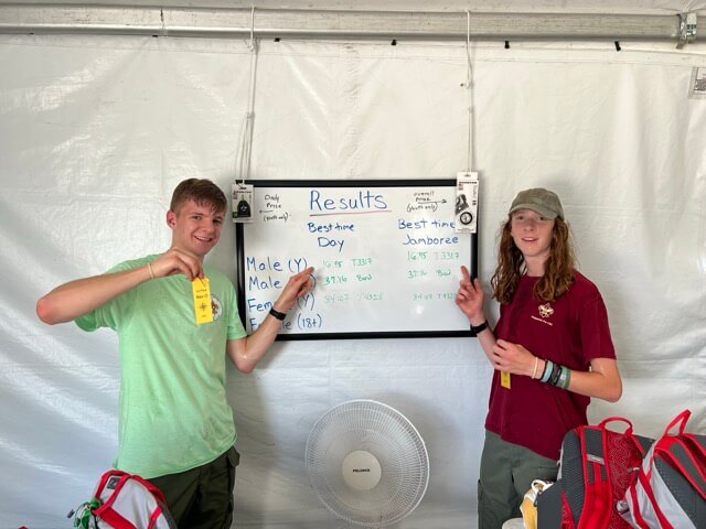
One Scout returned to run the intermediate and advanced courses after posting the fastest time on the beginner course. When we talked with him after his runs, he was excited about finding
orienteering clubs near both his hometown and college.
Orienteering USA provided a $500 grant for controls, punches, and other materials. Brunton
Compasses also supplied loaner compasses and donated compasses for prizes. Daily prizes
included zipper-pull compasses, while overall Jamboree prizes included several high-quality
baseplate compasses.
One of the highlights was visiting the campsites to award the daily prizes to the Scouts. Most
knew they had done well, but they were still very excited to receive their prizes.


Mapping a Reclaimed Mine
The terrain at the Summit is quite different from that found on many traditional orienteering
maps. Because the former mine site was reclaimed and extensively graded, it has relatively few
of the landforms that normally provide useful navigation features. Many springs have
disappeared, and there are few reentrants, gullies, or other small contour features.
As a result, the terrain has relatively little of the fine contour detail that orienteers often rely on
for navigation. Much of the useful information on the map is vegetation-related, creating a
particular challenge for course setters trying to design interesting and appropriate courses.
The original map was created in 2019 by Plamen Djambozov and Al Duquette of Houston
Orienteering for the 2019 World Jamboree, with funding assistance from OCIN.
For the 2026 Jamboree, the existing White course was used as the beginner course. It is a
permanent course established in 2021 and used during the Summit’s annual summer camp
sessions.
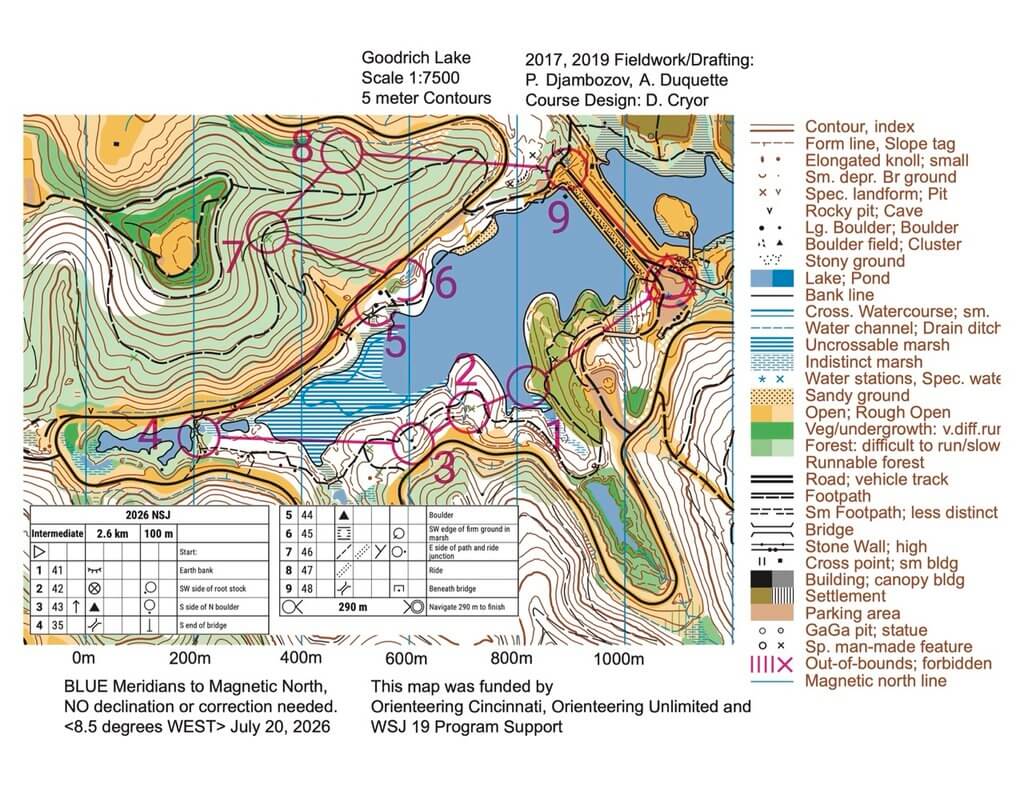
The Yellow and Green courses were set specifically for the Jamboree. With thousands of Scouts
camping throughout the property, course setters also had to take into account the possibility of
interference from tent locations and other temporary Jamboree facilities.
Despite these challenges, the courses provided hundreds of Scouts with an opportunity to try
orienteering—or, for those who already had some experience, to test themselves on a more
challenging course.
With more than 400 starts during the Jamboree, orienteering clearly found an audience at the
Summit. For many Scouts, it was their first experience with the sport—and perhaps the
beginning of a longer relationship with orienteering.