YMP Map of the Month – January 2021

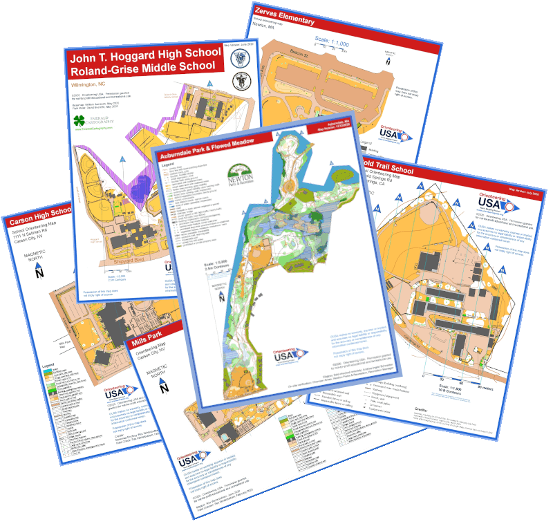
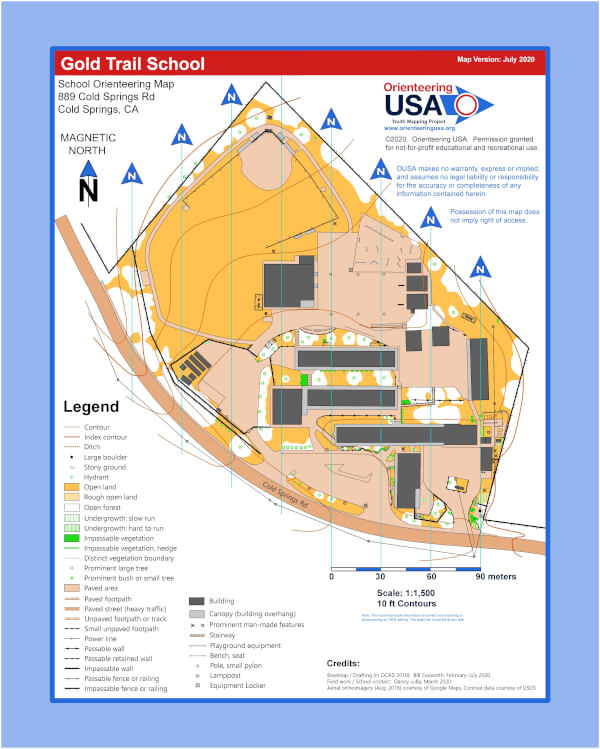
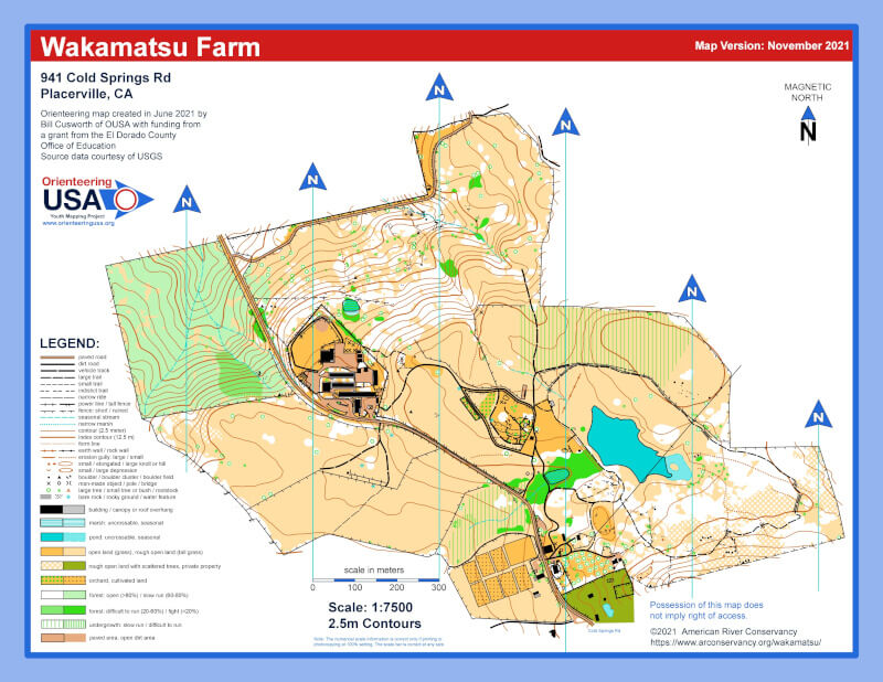
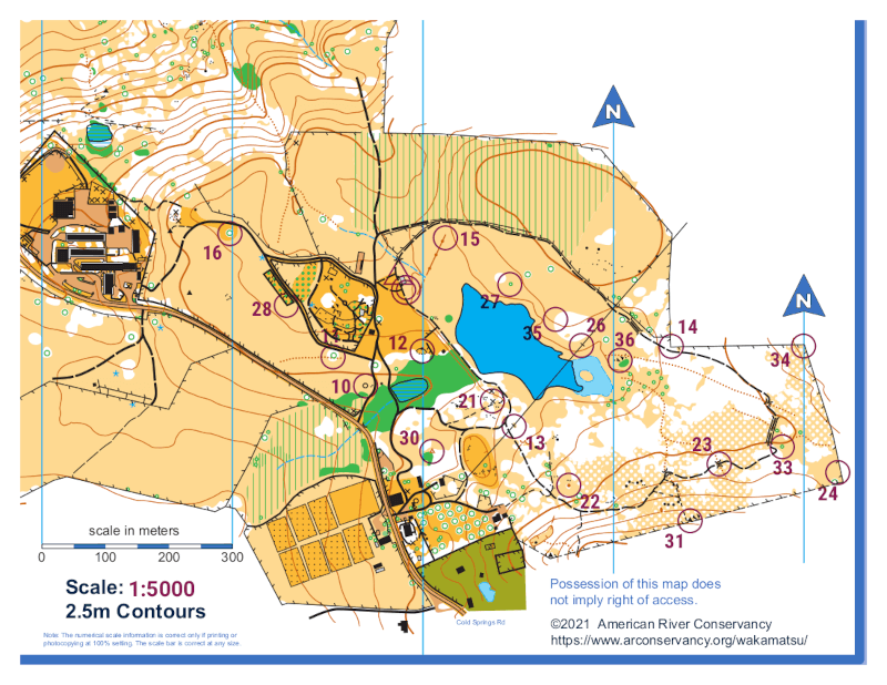
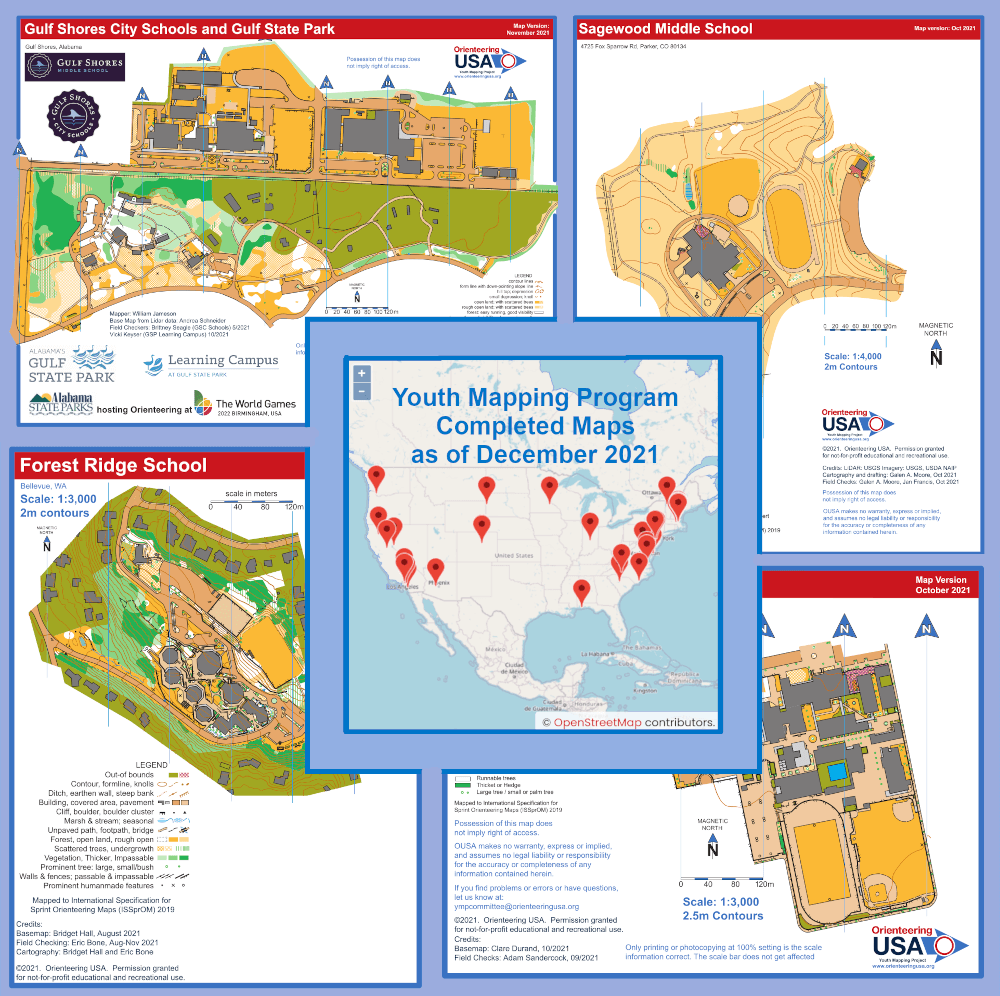
As we head into the new year, Orienteering USA’s Youth Mapping Program (YMP) is moving ahead full steam. At last count there were seventeen (17) new maps in production by 17 different mappers, plus an equal number of remote field checkers serving as ‘eyes on the ground’. And the committee has more map requests queuing up!

This month’s featured Map of the Month is a 1:4000 scale map of the campus of the Black Hills State University in Spearfish, SD. It was created by YMP mapper Julia Doubson with field checking by BHSU Professor Christine McCart who heads up the Outdoor Education Program on campus. Professor McCart will utilize the new map in her PE 100 Orienteering Course as well as RECR 242 Outdoor Skills class. She also intends to share the map and resources with PE teachers in the local school systems.

If the map looks familiar, its probably because we ran this as our Puzzle Friday feature a few weeks back on New Years Day. You can check out the puzzle of this and other maps in our Puzzle Friday archives

Puzzle Friday: Black Hills State University

Happy New Year everyone!! Just a quick post to bring you a puzzle version of the January YMP Map of the Month: Black Hills State University in Spearfish, SD. We’ll be highlighting the Map of the Month in a future post, so stay tuned for more details on this brand new map.

Puzzle Friday: Auburndale Park

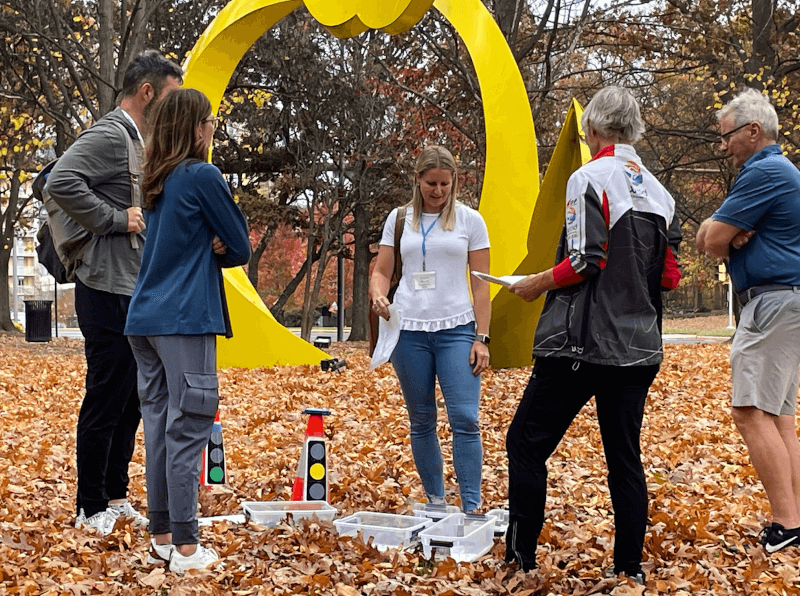
Happy Friday everyone! Today’s puzzle brings us another look at the December Map of the Month from the OUSA Youth Mapping Program – a mashup of the full Auburndale Park map along with photos shared with us by Channon Ames of the Newton Parks & Rec department. Some of the images were part of their Photo-O while others are of initial users of the new map. Have fun!!

YMP Map of the Month – December 2020

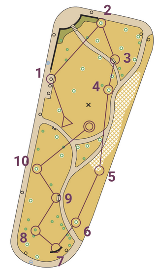
From inception to running programs in just two months – that is the whirlwind story of this month’s YMP Map of the Month – Auburndale Park in Newton, Massachusetts. Back in September Newton Parks Recreation Manager Channon Ames was investigating options for socially-distant, outdoor activities that could be offered by the city when she received a timely email from OUSA member Navigation Games. While meeting with Navigation Games president Barb Bryant she learned about the Youth Mapping Program and its associated grant program.

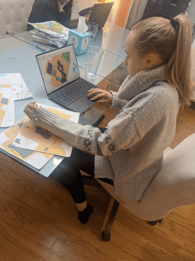
Channon was paired up with YMP’s Andrea-Ingrid Schneider to remotely map the park with Channon serving as ‘eyes on the ground’ to assist Andrea in the map making process.

Channon says Andrea “was amazing to work with.  The information she was able to pull together using online resources from half-way across the country was incredible.  Andrea was able to guide me through the process of field checking areas and correlating images to the map in order to produce our map.

By late October the map was complete and recreational programs were quickly underway. As of mid-November the park has already:

  • Run a 4 week introduction to orienteering program at Auburndale Park for 21 children in grades 2 – 6 with Navigation Games
  • Run a photo scavenger hunt at Auburndale Park for 30 children in grades 6 – 9 using the pictures from the map checking process.   
  • Installed a permanent orienteering course at Auburndale Park with the help of a local Eagle Scout and his troop. 
    • The permanent course includes posts with control signs, punches and QR codes. 
    • The signs give information about the history, features and native species of the park, making the courses fun for orienteers and the general public. 
    • 9 of 11 permanent markers are wheelchair accessible and plans to make trail improvements to the remaining 2 markers will make them fully accessible as well.      

There is still much more to come for orienteering in Newton. Channon and the Newton Parks Department are in the process of getting maps created at Cold Spring Park, Kennard Park, Nahanton Park and Edmand’s Park in the spring.

Eagle Scouts from local troops have been lined up to add additional permanent courses in those parks as well. Channon is planning to share her experiences via a zoom meeting with the Metro West Regional Massachusetts Recreation Association in early December to hopefully get orienteering into even more metro Boston area park programs.

“I can’t wait to offer more programs in our parks to youth, families, scouts, summer day camps, after school programs, middle and high school clubs, adults and others to help teach and promote the sport of orienteering.”
Channon Ames, Recreation Program Manager 

Interested in getting involved with the Youth Mapping Program as a remote mapper? Fill out the form here.

We will leave you with this fun online jigsaw puzzle of the Cove section of the Auburndale map for your enjoyment. Click on the ‘Reload’ icon in the lower left to shuffle the puzzle if necessary and have some fun.

OUSA Youth Mapping Program

Hello OUSA clubs & affiliates,

The Youth Mapping Program (YMP) Committee would like to call your attention to this relatively new national outreach grant program to help match mappers with schools and other youth nonprofit organizations who want to create small sized maps for orienteering teaching purposes. This is an excellent twofold way to grow orienteering in your community through
schools and other non-profit youth based programs, while supporting your mappers, extending the reach of projects available for hire. Applications for mappers and schools are at the bottom of this message.

Announced last year on the OUSA website, already 20 + organizations have requested a map and a short list of mappers have applied. The first round of matching and grant funding was awarded in January 2020, as a small test sample of the program. We are now ready to expand this program, continuing to review applicants for matching and funding on a quarterly basis. Our next round will be awarded this summer.

Mappers do not need to physically go to the site to create a map, but by using online resources and cartography software, will work with a designated representative from the youth organization as “eyes on the ground” to get the terrain physically checked over. The mapper will work with an OUSA YMP consultant to ensure the map meets the published guidelines. Schools and youth organizations will be requested to define the areas and size they want mapped, from school grounds to local parks. They will be assisted with any questions by this committee regarding suitability and scope of the project. We hope to get as many small teaching maps into the hands of youth and educators as possible through this program.

Please pass this message along to any and all that you feel would benefit from this program. Orienteering clubs, please reach out to invite all members, particularly those with children or ties to schools to get involved locally with outreach to promote this national, grant assisted Youth Mapping Program. Applications are ongoing, with a June 30th deadline to be considered for Round 2.

To learn about this opportunity, please go to this link. Grant Rubric information for map project suitability is listed in the side menu. Note: Link updated 8 January 2021

Mappers who would like to join the program should apply here.
Schools and youth organizations who would like a map to help teach orienteering should apply here.

Eileen Breseman, YMP Committee Member
YMPCommittee@nullorienteeringusa.org