
What is Rogaining?
Rogaining (also called Map Trekking in the US) is the sport of long distance navigation using a topographic map, during both the day and night, completed in groups of 2 to 5 participants, over a long duration (2-24 hours). Events shorter than 8 hours may also allow solo participants. Rogaining involves more route planning and generally less technical navigation than a standard orienteering event.
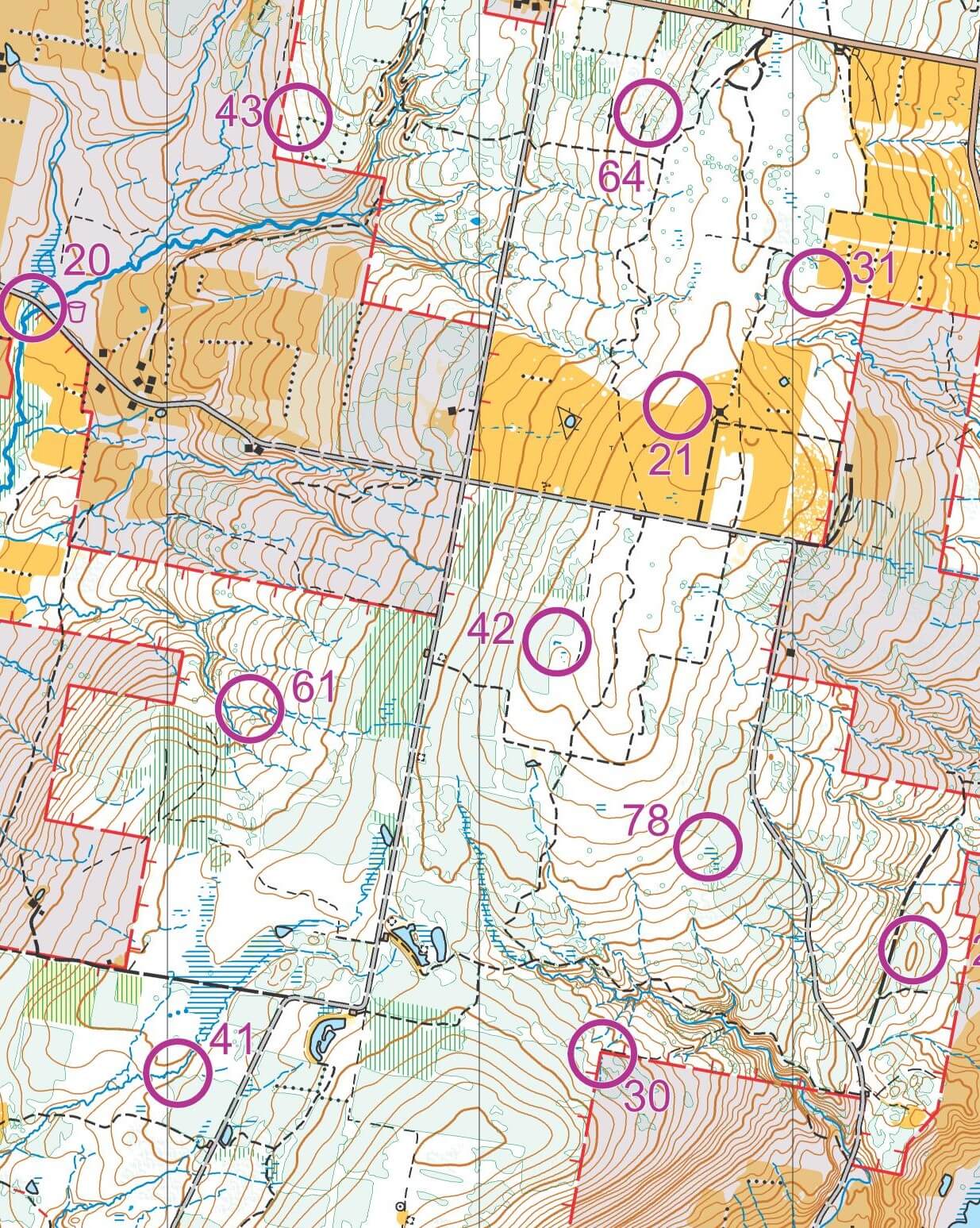
During an event, teams visit a series of checkpoints (also called controls) marked with orange and white bags that have been placed ahead of time by the course setter. Checkpoints can be visited in any order and are assigned varying point values based on technical difficulty and distance from the event arena (start/finish) called the hash house. The goal is to accrue as many points as possible in the allotted time of the event.
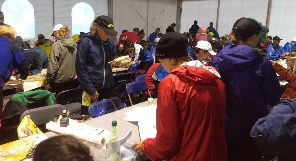
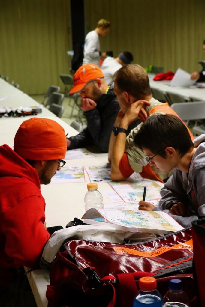
Competitors are given a period of time before the race starts to plan their course. During this planning period, participants must evaluate the course indicated on the map, along with their fitness and navigational skills, to select checkpoints to visit and routes to travel to maximize their score. Most events are designed so that participants are not able to visit all checkpoints within the time limit so that all teams have to make tough decisions about which checkpoints to skip.

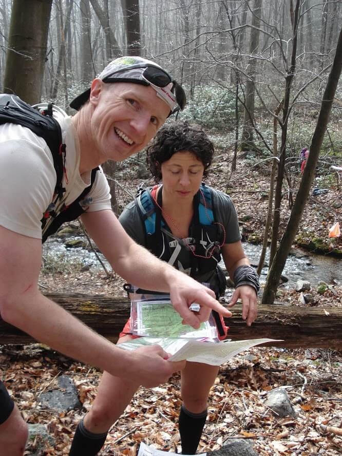
Once the event begins with a mass start, participants navigate to checkpoints and evaluate their progress compared to their plan. Depending on time, it may be desirable to collect a few extra checkpoints or it may be necessary to skip a few to get back to the finish before the time limit. Participants of the same group must stay together at all times. Exceeding the race time limit results in a penalty dependent on the exceeded time.
Even though the navigation period may be 2-24 hours (depending on the event), participants may allocate their time however they choose. Participants may decide to not return to the hash house during competition, return once, return multiple times, or return prior to the time limit. Food is generally served continuously at the hash house during the duration of the event and at the finish, there is often a big communal meal.
Maps
Rogaining events often use standard topographic maps (USGS maps) although the trend is toward more detailed maps using the orienteering (ISOM) map standard. Maps can range in scale from 1:10000 (1cm = 100m) to 1:50000 (1cm:500m) with 1:25000 (1cm = 250m) being the most common scale. The most common contour interval is 10 meters.


Control Descriptions
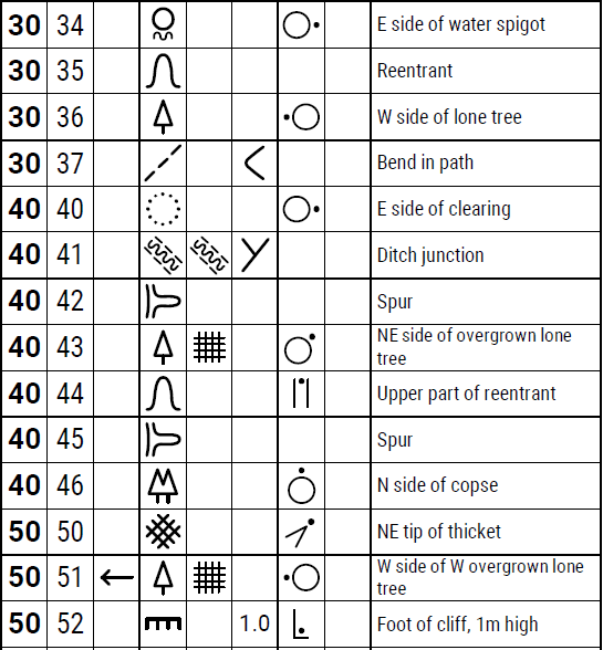
Along with your map, you will often be provided control descriptions. Control descriptions provide the point value and identifying number of the checkpoint marker and describe its exact location.
For a rogaining event, descriptions will be provided either as symbols, written words, or both. If symbols are used they generally follow orienteering’s international standard.
Required Gear

Rogaining requires participants to be self-sufficient (other than water) along the course. Most rogaining events have a mandatory gear list (based on the environment and length). Required gear often consists of food, water, cold weather clothing, emergency whistle, and compass, as well as the course map provided at the event.
Learn More
Calendars
- Sanctioned Rogaining Events (championships and some 24-hour events)
- Other Rogaining Events
