2026 European Youth Orienteering Championships Recap
June 25-27, 2026
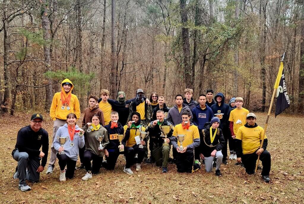
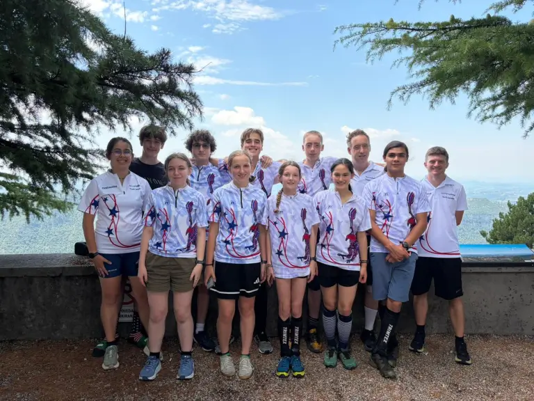
The 2026 European Youth Orienteering Championships (EYOC) took place June 25-27 in Slovenia. The US sent nine athletes across four age classes (M/W16 and M/W18). Meet them on the US Team Blog!
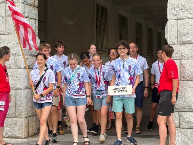


Photos by Natalia Fey, Ryan Dunlap, and Frank Neumann